
'King tide' offers glimpse of sea level rise in Barrington
Topher Hamblett brought his camera to Mathewson Road on Wednesday, Sept. 30, hoping to catch a glimpse of the future. And the future looks wet.
The longtime Barrington resident was volunteering as part of a Coastal Resources Management …
This item is available in full to subscribers.
Please log in to continue |
Register to post eventsIf you'd like to post an event to our calendar, you can create a free account by clicking here. Note that free accounts do not have access to our subscriber-only content. |
Day pass subscribers
Are you a day pass subscriber who needs to log in? Click here to continue.
'King tide' offers glimpse of sea level rise in Barrington
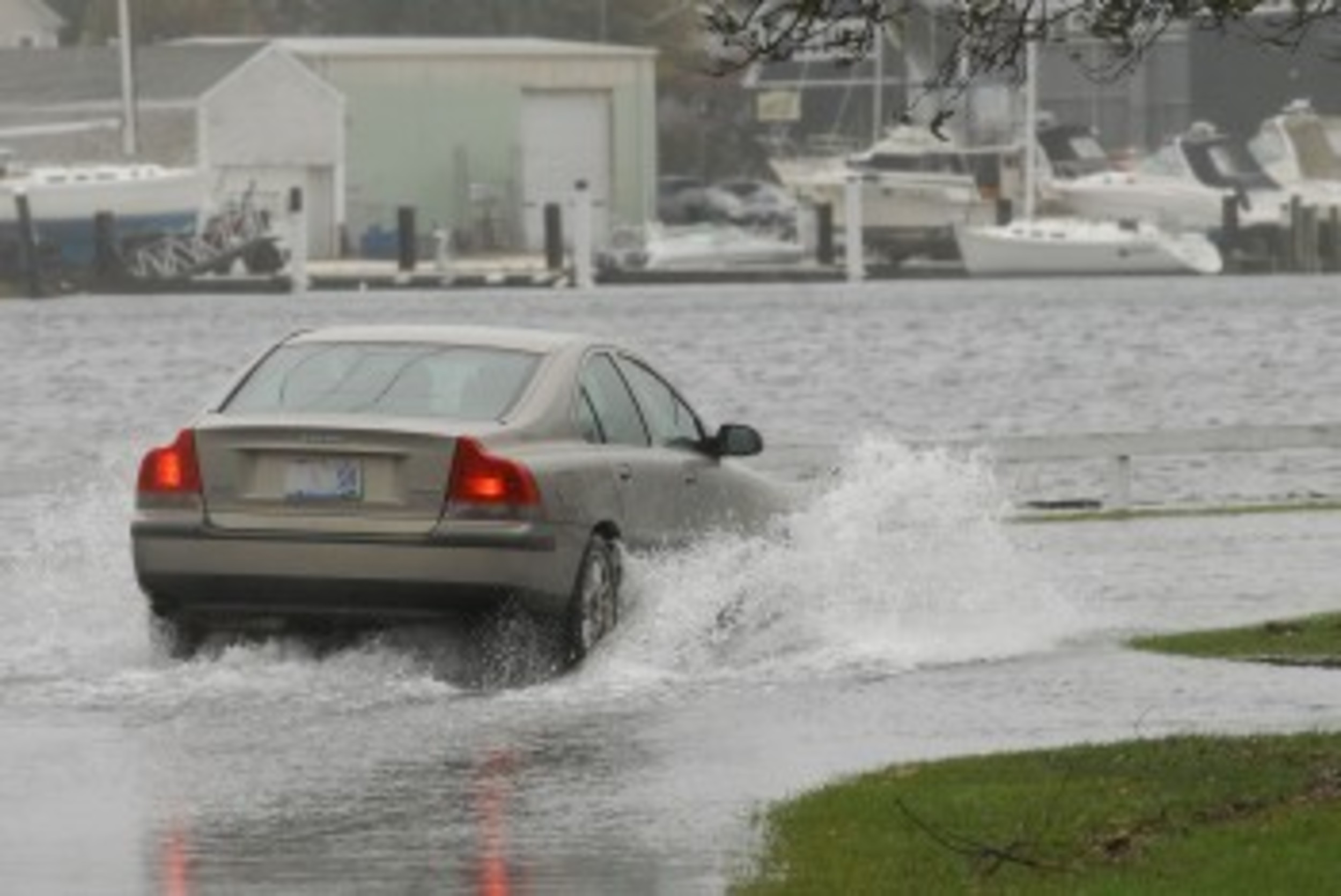
Topher Hamblett brought his camera to Mathewson Road on Wednesday, Sept. 30, hoping to catch a glimpse of the future. And the future looks wet.
The longtime Barrington resident was volunteering as part of a Coastal Resources Management Council and Save The Bay project to monitor sea level rise. During large tide events, he and others snap photos of coastal areas around the state. What Mr. Hamblett found on parts of Mathewson Road on Wednesday morning were a bit startling.
"That was one amazing flood tide," wrote Mr. Hamblett in an email. His photograph shows a Jeep trying to navigate a badly flooded roadway — a short wooden guardrail offers the only delineation between where the land stops and the Warren River starts.
Wenley Ferguson, who works with Save The Bay, said the project offers key insight to local officials as they plan for the future.
"These images provide us a vision of how future sea level rise will impact low lying areas on either a monthly
or even daily basis," wrote Ms. Ferguson. "We have been coordinating volunteers to photograph low lying areas during spring tides over the last several years."
Ms. Ferguson said that recently a new app was developed to upload photos taken during king tides. More information can be found at Mycoast.org.


