
More thunderstorms possible Sunday afternoon
Strong storms are possible, with torrential rain and heavy wind
After bumpy weather Friday afternoon, the area could be in for another round of thunderstorms Sunday afternoon.
The National Weather Service has issued a Hazardous Weather Outlook for much of …
This item is available in full to subscribers.
Please log in to continue |
Register to post eventsIf you'd like to post an event to our calendar, you can create a free account by clicking here. Note that free accounts do not have access to our subscriber-only content. |
Day pass subscribers
Are you a day pass subscriber who needs to log in? Click here to continue.
More thunderstorms possible Sunday afternoon
Strong storms are possible, with torrential rain and heavy wind
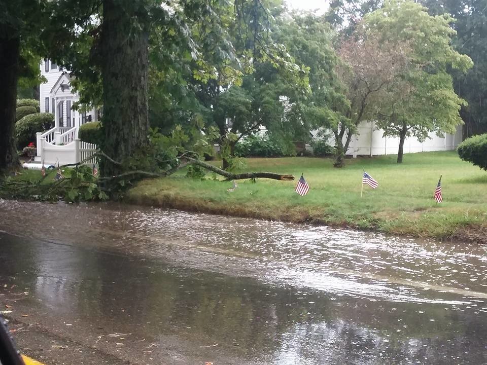
After bumpy weather Friday afternoon, the area could be in for another round of thunderstorms Sunday afternoon.
The National Weather Service has issued a Hazardous Weather Outlook for much of Rhode Island, including Bristol County. A front is expected to move through the area Sunday afternoon, potentially creating strong, isolated thunderstorms. The weather service predicts a 50 percent chance of storms in Bristol County Sunday afternoon, mainly before 7 p.m.
Storms Friday afternoon damaged trees in the area, especially in the northern end of Bristol along Hope Street, where large branches blocked traffic. Torrential rains, like those seen Friday, are likely with any storms that hit Sunday afternoon, possibly causing localized flooding.


