
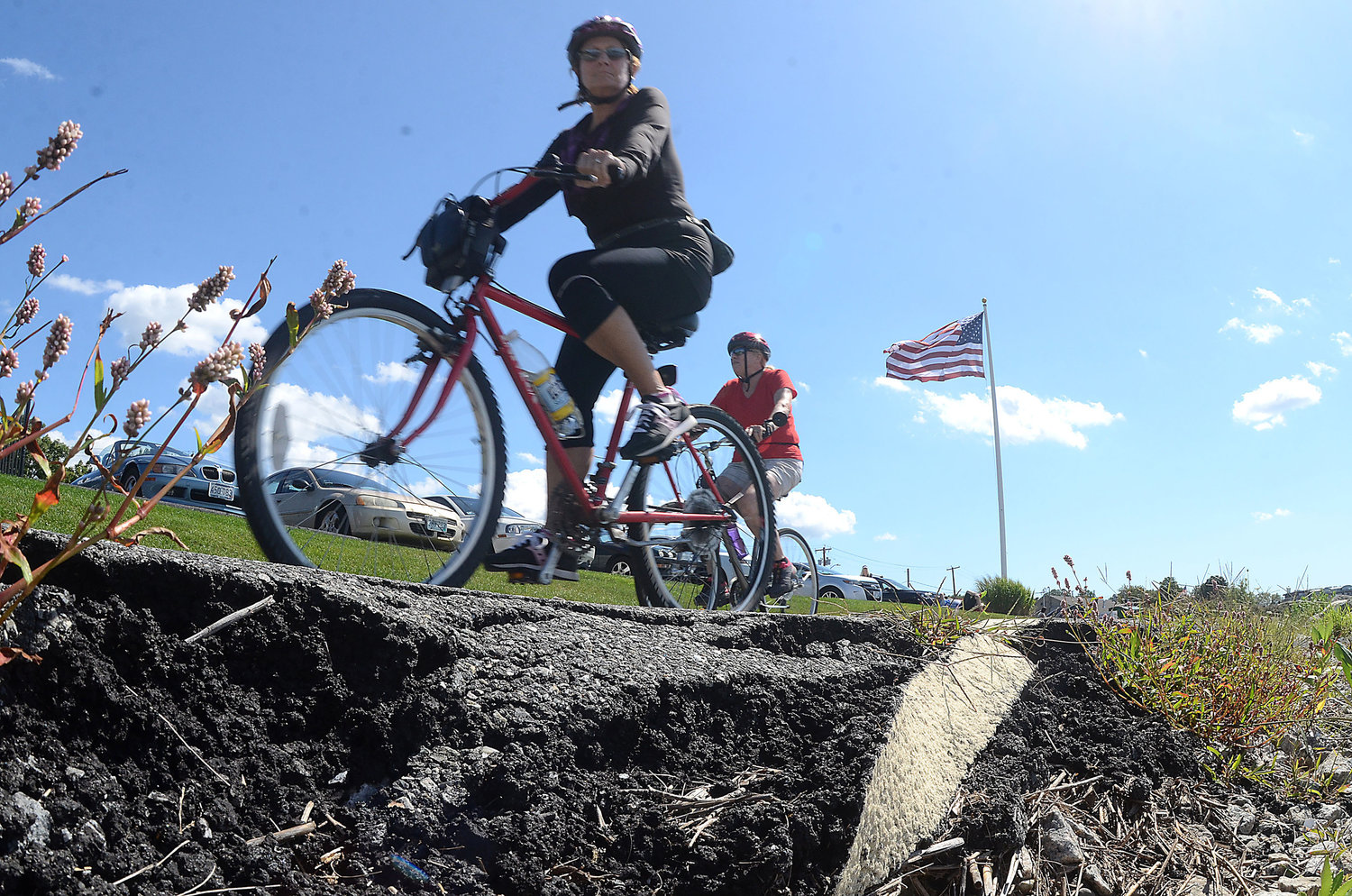
Four extension options explored for East Bay Bike Path
For the past several years, the Town of Bristol has been looking into ways to connect the end of the East Bay Bike Path to the Mt. Hope Bridge and RWU. Major progress has been made toward that goal, and some safety improvements are already moving forward.
This item is available in full to subscribers.
Please log in to continue |
Register to post eventsIf you'd like to post an event to our calendar, you can create a free account by clicking here. Note that free accounts do not have access to our subscriber-only content. |
Day pass subscribers
Are you a day pass subscriber who needs to log in? Click here to continue.
Four extension options explored for East Bay Bike Path
For the past several years, the Town of Bristol has been looking into ways to connect the end of the East Bay Bike Path to the Mt. Hope Bridge and RWU. The initial plan included the construction of a paved, off-street pathway along Ferry Road, but for a variety of reasons that plan proved problematic.
“There were lots of concerns regarding Ferry Road,” said Ed Tanner, Town Planner. “There's obviously a need but the engineering process found many problems. For example, the state requires the path be a particular width and design, and with trees, stone walls, and roadway all in the way we walked it with representatives from the Department of Transportation and decided that a paved pathway on Ferry Road was not going to work.”
Still, the many rounds of discussions leading up to that decision revealed there were several other places throughout town where similar needs and concerns about bike accessibility could and should be addressed. So the Community Development Department, under the leadership of Diane Williamson, shifted focus and came up with a new plan.
Share the road
One idea that emerged was the concept of shared use streets — Thames Street in particular. A shared street is a roadway designed for slow travel speeds where pedestrians, cyclists and motorists all share the right of way. As the terminus of the East Bay Bike Path, it makes sense for Thames to serve as a shared route leading people into town. A public meeting floating the idea at the end of last year was well-attended and met with an enthusiastic response from local residents.
It’s just one part of the Bristol Bicycle Network Project, funded by a grant from the RIDEM Bikeways Program. The Town has been studying many ways to improve safety for bicyclists, pedestrians and vehicles, while fostering economic growth in downtown Bristol. Making downtown more bicycle friendly is the first step, beginning with simple, low-cost improvements to a network of streets where pedestrian and cycling use is already high.
According to plans available on the Community Development department’s website, the primary goals of the project are to:
- Create conditions for safer pedestrian and bicycle travel;
- Slow vehicular speeds and reduce “cut-through” traffic;
- Service resident, customer, visitor, and delivery traffic to the area;
- Create everyday spaces and places where residents and visitors can gather, sit, and enjoy the commercial and scenic waterfront area;
- Enhance connectivity to/from key spaces and destinations such as the entrances to East Bay Bike Path, Independence Park, State Street Dock, Rockwell Park, Prudence Island Ferry Terminal, and Fireman’s Memorial Park;
- Create zones for community events and gatherings where sections of street may be temporarily closed and made into pedestrian/limited vehicular areas.
The engineering plan offers several potential design options for improvements that meet these goals, including changes to pavement materials, curb modification, enhanced gateways, street furniture, wayfinding signs, and enhanced landscape features, including landscaping that addresses coastal resiliency. The beginning of this plan will be implemented soon: wayfinding signs have been approved and are being fabricated and installed in time for the summer biking season.
“They will be popping up in May along Thames, High, and Wood streets, and out toward Ferry Road. The goal is to get people through town in a coordinated and safe manner,” said Tanner.
Streets such as High, Wood, Constitution, and Church that already have adequate sidewalks would receive pavement markings for shared bicycle use, improved crosswalk/stop markings and wayfinding signage.
All existing on-street parking would remain the same under the proposed plan.
Bike Network route alternatives
The idea of providing safe passage to RWU and the Mount Hope Bridge has not been abandoned along with the Ferry Road bike path, it remains the primary goal of the Network. Four possible routes have been identified, which you can look over on planning maps here, and here:
- From south to north, the East Route would link RWU to the East Bay Bike Path via Metacom, Woodlawn, Wood, a (yet unbuilt) path from Veteran's Park to Chestnut, to Hope to Asylum. Cost: $3.5 million.
- The Middle on Wood route would run from Metacom to Griswold to Ferry Road to Wood, then cross Silver Creek at Veteran's Park and cross Hope Street to join the East Bay Bike Path. Cost: $3.0 million.
- Middle on High route would follow the Wood route, but turn east on Walley Street and then north on High Street for most of its length. At the northern end of High Street the route could turn west on either Franklin or Washington before joining the East Bay Bike Path. Cost: $2.0 million for the Franklin Street option and $2.5 million for the Washington Street option.
- The West route would begin on the west side of Ferry Road, merge onto Hope and turn north on High at the existing pedestrian crossing. It would turn west on Constitution or Church, cross Hope and turn north onto Thames to the existing terminus of the East Bay Bike Path at Independence Park. Cost: $1.5 million.
The Town is still in the process of determining which routes and streets will be targeted in this effort.
The current project funded under the existing grant is for an improved north-south connection, but many residents requested that the Town also pay attention to improving bicycle and pedestrian connections that go from east to west. Specific suggestions include the neighborhoods and corridors around Mount Hope, State, Bayview, Annawamscutt, Chestnut, Narrows, Gooding, Sherman, Michael, Tupelo, and Beach. While those areas are not part of the current project, the Town is interested in exploring these potential connections in the near future as part of a larger connectivity effort in the Town.


