
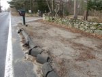
Bristol talking about how to build a better biking community
After a year out of the spotlight, the plan to create safe bike routes throughout Bristol is back on center stage.
This item is available in full to subscribers.
Please log in to continue |
Register to post eventsIf you'd like to post an event to our calendar, you can create a free account by clicking here. Note that free accounts do not have access to our subscriber-only content. |
Day pass subscribers
Are you a day pass subscriber who needs to log in? Click here to continue.
Bristol talking about how to build a better biking community


The Bristol Town Council voted unanimously in support of the proposal outlined in this article during their March 30 meeting.
After a year out of the spotlight, the plan to create safe bike routes throughout Bristol is back on center stage. The Bristol Town Council was expected to hear a project update at its meeting Wednesday night (after the Phoenix went to press), a little more than a year after the council endorsed some but not all of the original bike path designs.
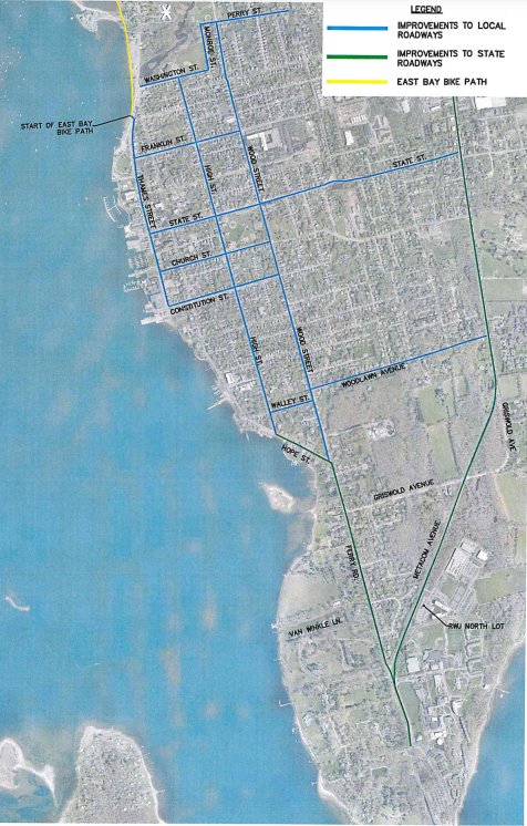
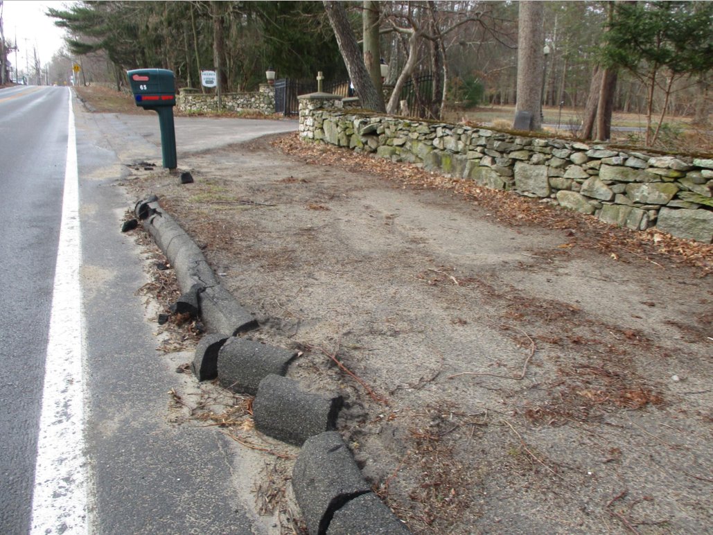
Funded by a $500,000 Rhode Island Department of Environmental Management (DEM) grant, the town is working with a private design firm, Fuss & O’Neill, to expand the wildly popular and heavily traveled East Bay Bike Path into a more extensive network of safe biking pathways throughout town. Areas of focus have been the downtown district and the southern end of town that funnels toward the Roger Williams University campus.
The original plan called for a two-way bike path on the west side of Ferry Road, running in front of Blithewold Mansion, Columban Fathers and the waterfront homes in that area. Councilors Nathan Calouro and Mary Parella both objected to that plan, and they asked for something smaller that looked less like a “speedway” for bikes.
The result is a major shift in the design. Because Ferry is a state road, the consultants met with the Rhode Island Department of Transportation (DOT). Together, they re-examined that area and determined that they could not work within the Council’s restrictions and still create a safe bike path that would comply with state regulations. Plus, the intersection where Wood, Ferry and Hope streets meet is simply not wide enough, regardless of Council restrictions.
So that part of the plan is scrapped.
The new Ferry plan
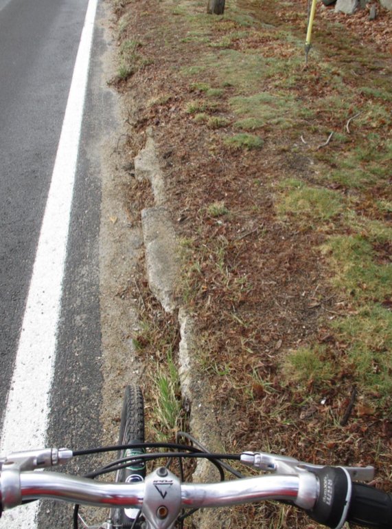
The new recommendation for Ferry Road is to create a good pedestrian path where the bike path would have been — and to separately ask DOT to improve Ferry Road itself so there are “bikeable shoulders” beside both the north and south lanes.
Bristol Community Development Director Diane Williamson, the town’s project champion, explained that bikeable shoulders would hopefully be wider on both sides than they are now; would be accompanied by “share the road” markings; and would be marked by signage indicating bikes have the right to travel both north and south on that roadway.
Routes 114 and 136 (Hope/Ferry and Metacom Avenue) are both designated as state “bike routes,” thus the town is hoping the state will prioritize both of these major arteries to the university as areas for bikeable improvements. So the streets markings, signs and bikeable shoulders would be built into both of those roadways.
East-west connections
With the anticipated savings in the Ferry Road end of things, the design team is looking to expand its efforts elsewhere. New on the wish list are better east-west pathways, to connect the thousands of people living on the east side of Metacom Avenue to the downtown district and to the bike path itself.
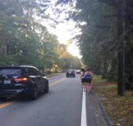
Once again, these would not be dedicated bike paths or bike lanes. They would involve “share the road” markings, signage and enhanced crosswalks for streets like State Street, Woodlawn Avenue and Perry Street — likely spots for cyclists to travel from the east side of Bristol to the west.
A downtown network
The DEM grant includes $400,000 for design and $100,000 for implementation. Williamson is hoping to tap into some of that implementation money this summer, to start building the safe-bike improvements throughout the downtown district. This would mean “share the road” markings and wayfinding signs throughout downtown Bristol, along High and Wood streets, as well as their many intersecting streets.
“Whenever I talk about this, I’m reminded that you can ride your bike on any road in Bristol,” Williamson said. In fact, at every public hearing or feedback session, the town has heard from different people talking about their different bike routes throughout town. So instead of endorsing a single bike route connecting Point A to Point B, they are adopting a true network of routes — cyclists, take your pick.
“We’re not creating just one potential path. It’s really becoming a bicycle network … It’s about bicycle safety everywhere,” Williamson said.
A new Thames Street
Again thanks to the savings along Ferry Road, Williamson is hoping to redirect grant money into a significant new concept for Thames Street, the town’s main artery that runs the length of Bristol Harbor. The idea is to create a true “shared street,” where cars, bikes and pedestrians all have equal rights and access to the roadway.
In the designer’s eye, the length of Thames Street would be a vibrant stretch of shops, outside dining, walkers, bikers and destination-oriented motorists.
It’s a raw concept, based on successful models elsewhere, and it needs a lot more study, Williamson said.
A new ‘green space’ trail
The last item on the team’s wish list — and this is very theoretical, yet to be really tested — is the idea of creating a new, mostly off-road trail, that runs north-south through the center of Bristol.
“The town has a lot of green space in the center of town, from the Perry Farm, or Hundred Acre Wood, to the golf course, to parks along Chestnut Street, down to Silver Creek … We’d like to look at whether we have an opportunity to connect these open space parcels with a shared, off-road trail system,” Williamson said.
For those familiar with the mythical “Wood Street extension,” this would be a bikeable, walkable version of that, creating a new safe route to travel from the downtown district to other areas of Bristol, without utilizing either of the two major motorist arteries.
In concept, someone could bike, mostly off-road, from Silver Creek at one end of the downtown district, past St. Mary’s Cemetery and Mt. Hope High School, through a National Grid corridor to Gooding Avenue, past the Bristol golf course, past Tupelo Street and back through the Hundred Acre Wood and a National Grid easement, all the way to the Warren town line and beyond.
“It’s kind of a cool concept,” Williamson said. They are proposing a 10 percent design plan, which in consultant terms means they want to kick the tires on the possibility.
Williamson and lead designer Arnold Robinson were expected to seek the council’s endorsement of all these ideas at last night’s meeting.


