
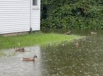
Labor Day rainstorm...A 'bath' for the birds!
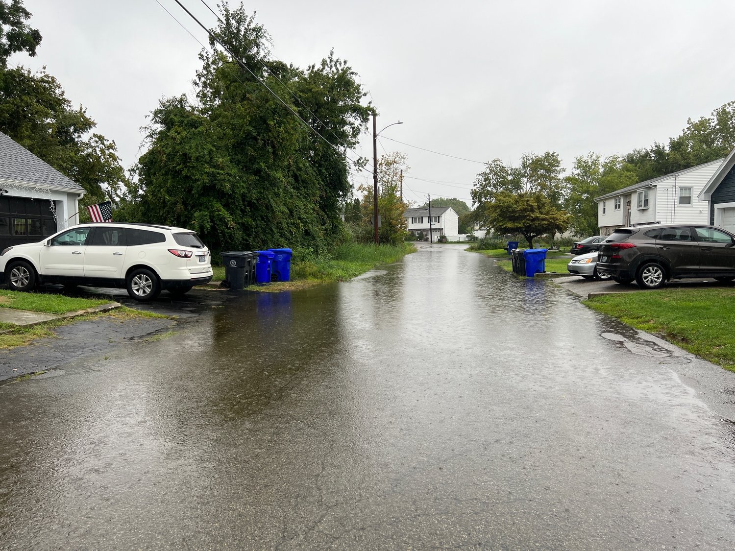
Pummeling precipitation causes flash flooding in parts of East Providence, around the region
EAST PROVIDENCE — The unofficial end of summer, Labor Day weekend/week, also brought about an end to among the driest summers in recent memory as one of the most significant, non-extreme …
This item is available in full to subscribers.
Please log in to continue |
Register to post eventsIf you'd like to post an event to our calendar, you can create a free account by clicking here. Note that free accounts do not have access to our subscriber-only content. |
Day pass subscribers
Are you a day pass subscriber who needs to log in? Click here to continue.
Labor Day rainstorm...A 'bath' for the birds!
Pummeling precipitation causes flash flooding in parts of East Providence, around the region


EAST PROVIDENCE — The unofficial end of summer, Labor Day weekend/week, also brought about an end to among the driest summers in recent memory as one of the most significant, non-extreme weather rainstorms trounced the region, including Rhode Island.
The extended front dropped an over 24-hour period of drenching rains on the area Monday afternoon, Sept. 5, into late Tuesday, Sept. 6.
According to the official numbers recorded by the National Weather Service Weather Forecast Boston/Norton Office, as of early Tuesday morning, 5.52 inches of rainfall was noted in city at its northern recording location at East Providence’s Emergency Management headquarters on the grounds of Fire Station No. 3 in Rumford.
Locales farther south in Rhode Island and in the region saw slightly to significantly lesser totals and that trend was seen a bit in city as at East Providence’s other, southern weather recording station in Riverside, where 5.13 inches was recorded.
By the time the official final totals are tallied for the event, which was likely to happen later Wednesday, Sept. 7, it’s likely East Providence’s highest figure will approach six inches while the lower end should be near 5.5 inches as between a third and a half-inch of rain was predicted to fall in the closing stages on September 6.
The rapid rains, of course, brought flash flooding to vulnerable locations around the city, including the State Street area off Waterman Avenue near the state border with Seekonk, Mass., and abutting the Runnins River.
The National Weather Service summary noted between for and 10 inches of rain fell over the first 12-hour span, leading to flash flooding around the region. Upwards of an additional 1.5 inches were anticipated in certain spots before the system moved out of the area later Tuesday.
Some of the other locations around Rhode Island and Southeastern Massachusetts to experience flooding were Providence, Warwick, Cranston, Pawtucket, Woonsocket, Cumberland, North Providence, Johnston, North Attleborough, Attleboro, Smithfield, Lincoln, Central Falls, Burrillville, North Smithfield, Scituate, Glocester,
Plainville and Foster.


